5.2 miles (8.2km) with 113m of total ascent
 |
Directions
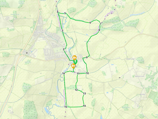 |
| Map for Walk 170: Standon East Loop Created on Map Hub by Hertfordshire Walker Elements © Thunderforest © OpenStreetMap contributors There is an interactive map below these directions |
1: With your back to The Star pub (location - https://w3w.co/transcribes.remotes.trickles) turn left then head N along High Street for 240m to Stortford Road (location - https://w3w.co/currently.walks.locked). Turn left on Stortford Road then head W for 160m crossing the River Rib and continuing until you reach Station Road on your right (location - https://w3w.co/outbursts.jigsaw.winks). Turn right on Station Road then head NW for 370m until you reach Meadow Walk on the right (location - https://w3w.co/spenders.logic.stuffy).
 |
| Standon footpath 12 after it passes between the houses on Meadow Walk |
 |
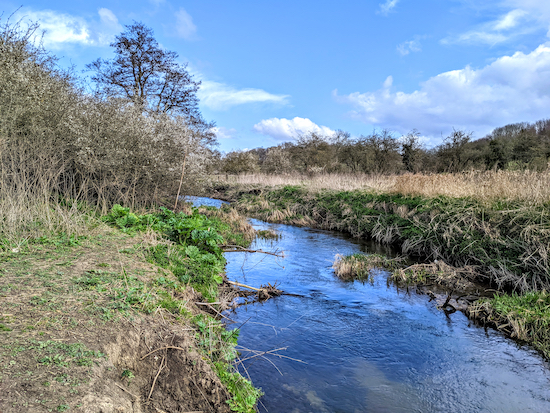
| The path comes closest to the River Rib at point 3 |
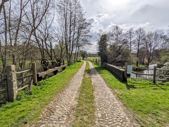 |
| Braughing footpath 19 heading ESE across the River Rib |
Continue on Braughing footpath 19 for 200m until you reach a cottage on the left and another bridge (location - https://w3w.co/sticky.cattle.excellent).
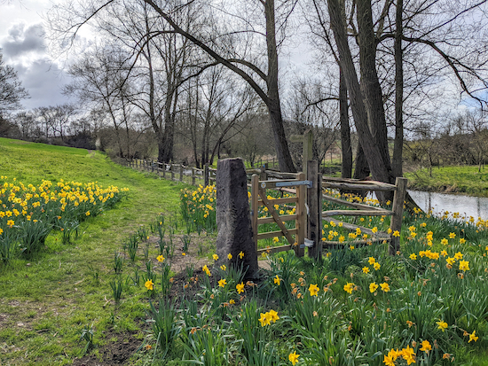 |
| Braughing footpath 19 after the second bridge |
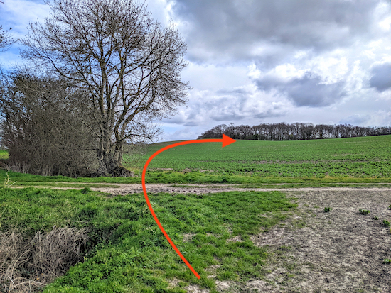 |
| Braughing footpath 19 crosses a field, but we took a detour |
However, when we tested this walk at the end of March 2022 Braughing footpath 19 had not been reinstated across the field following planting. So, because there were no obvious indications as to where the path should be, and because we didn't want to trample the crop, we decided to take a detour using the farm track (see image below), heading S for 200m to a bend (location - https://w3w.co/idealist.vintages.pulp) then heading E for 290m to pick up the route at point 8. Interestingly, when we got to point 8 there was a sign showing that the second part of the detour is a permissive path.
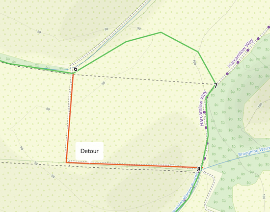 |
| Map showing the detour we took in red |
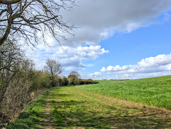 |
| Standon bridleway 3 heading SW from point 8 |
9: Turn right on Stortford Road then, walking along the pavement, head WSW for 120m looking out for an access lane called Half Acres on your left between cottages (location - https://w3w.co/awards.reclaim.purifier). Follow this lane S for 100m until it becomes Standon footpath 4 (location - https://w3w.co/campsites.smoker.cross), which you follow SSE and S for 460m until you reach a junction (location - https://w3w.co/policy.comply.digitally).
10: Turn right at the junction, now on Standon footpath 5, and head W for 40m until you reach Hadham Road (location - https://w3w.co/proves.camps.nails). Keep to your right on Hadham Road then head straight and W for 220m until you reach a footpath on your left between cottages (location - https://w3w.co/flickers.dart.cardinal).
11: Turn left on Standon footpath 24 then head S for 360m until you reach a gate leading into woodland (location - https://w3w.co/writers.attic.niece). There will be a track to the local sewage works on your left. Keep heading S through the woodland for 130m, still on Standon footpath 24, until you reach a lefthand bend (location - https://w3w.co/panting.chest.enclosing) at the edge of the woodland.
12: Turn left then head ESE for 270m until you reach a junction (location - https://w3w.co/stables.sharpens.pipeline).
13: Turn right, still on Standon footpath 24, and head S for 380m until you reach a junction (location - https://w3w.co/desks.blows.under).
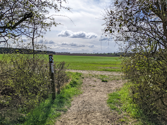 |
| Turn right on Standon bridleway 19 then head W |
15: Turn right on Standon bridleway 30 then head N for 970m until you reach Paper Mill Lane (location - https://w3w.co/ballpoint.gates.cascaded).
 |
| High Street Standon at the end of the walk |
We have another walk that starts and finishes in Standon. It is Walk 104: Standon S Loop.
Comments
Post a Comment