7.2 miles (11.6 km) with 137m of total ascent
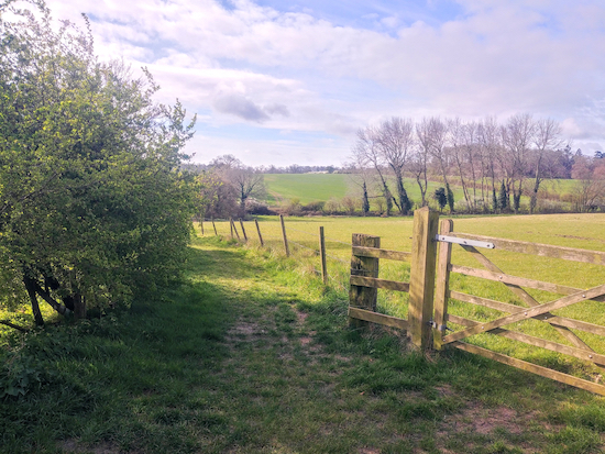
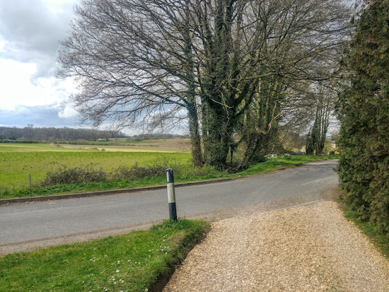
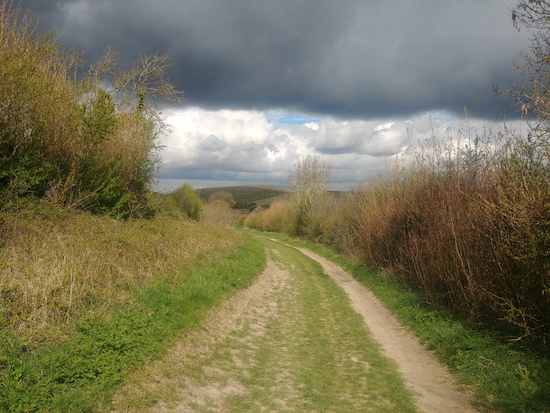
This is an excellent walk over the undulating countryside of north Hertfordshire. It follows well-defined byways and footpaths offering open views on all sides. You pass through the graveyard of the
Grade 1 listed Holy Trinity Church, Weston, where you might be able to spot the grave of
Jack O'Legs, who is said to have robbed from the rich to give to the poor. We have embedded a document about the history of Weston at the foot of the walk directions.
We have been told that the Red Lion pub, mentioned in the following directions, is currently closed (February 2024), we will update these directions and maps when we know more.
Fly through preview of walk
If you want to check what sort of landscape you will be crossing before you set off on this walk you can view a 30-second video (below) of the route. It includes a short detour to The White Horse where we stopped for lunch. The video is created using the free version of Relive.
Directions
 |
Map for Walk 125: Weston North-East Loop
Click here or on the map above for a larger version
Created on Map Hub by Hertfordshire Walker
Elements © Thunderforest © OpenStreetMap contributors
There is an interactive map below these directions |
Those with GPS devices can download
GPX or
KML files for the walk. We’ve added
What3Words location references for those who use that system. If you print these walks you might want to use the green
PrintFriendly icon at the bottom of these directions to delete elements.
 |
| Grade 1 listed Holy Trinity Church, Weston |
1: Take the track directly opposite
The Red Lion pub on Damask Green Road (location -
https://w3w.co/lanes.tricks.strong) then head SSE along Weston footpath 11 for 710m passing playing fields on your left until you reach
Holy Trinity Church. At this point your path becomes Weston footpath 9 and heads SSE and then E through the churchyard, with the church on your left, for 110m until you reach Church Lane.
 |
| The grave of Jack O’Legs in Holy Trinity Church graveyard |
* Just before leaving the churchyard look to the right to see if you can spot the sign for the grave of Jack O’Legs, a local archer and ‘Robin Hood’ character who was said to be a ‘giant’ who ‘robbed from the rich and gave to the poor’.
 |
| Weston footpath 25 after leaving Holy Trinity Church car park |
2: After leaving the churchyard turn right and head S through the church car park keeping to the right, then take Weston footpath 25 (location
https://w3w.co/closed.wake.motored). Follow this footpath SSE for 1.3km until you reach a junction at the at the end of Long Plantation on your right (location -
https://w3w.co/tidy.galloping.share).
 |
| The gate leading to the junction mentioned in point 2 above |
3: After going through the gate (image above) take the second turn on the left (which is almost straight on) and head ESE then E on Weston footpath 28, with the hedgerow on your left and field on your right, for 420m until you reach a farm. Go through the farmyard keeping to the left of the barns (location -
https://w3w.co/tasters.admiral.masts) and continue until you reach Dane End Lane in Halls Green.
 |
| The gate to Weston footpath 15 just after The Rising Sun in Halls Green |
4: Turn left on Dane End Lane and head NNE for 20m looking out for a footpath on your right just past
The Rising Sun pub (location -
https://w3w.co/broken.prefix.satellite). Take this path, Weston footpath 15, and head first E then ENE for 1.3km until you reach a junction where a track joins from the left (location -
https://w3w.co/storybook.race.digestion).
 |
| When Weston bridleway 36 joins your track continue heading E |
5: This track joining from the left is Weston bridleway 36 which you join
but don’t turn left, instead continue heading straight ahead and E for another 90m, now on Weston bridleway 36, until you reach a T-junction (location -
https://w3w.co/juggled.acids.dusters). Turn left here on Clothall BOAT 12 (byway open to all traffic), also known as Weston BOAT 39.
Head NNW then NW for 3km until you reach Green End, a lane which connects Weston and Clothall (location -
https://w3w.co/equipment.twig.childcare) - see image below.
 |
| Keep to the right when you reach Green End |
 |
| After 40m turn left on Hickman’s Hill, Weston BOAT 39 and head NW |
6: Join the lane as it bends to the right and then continue heading NNW for 40m until the lane turns right at which point you turn left on Hickman’s Hill, which is Weston BOAT 39 and also Clothall BOAT 12 (location -
https://w3w.co/turntable.formation.armrests). Continue along this track heading NNW for 790m until you reach a footpath crossing at the foot of Newfield Hill on your left and Ashanger Hill on your right (location -
https://w3w.co/homecare.teardrop.edits).
7: Turn left here on Weston footpath 1 and head NW for 650m until you reach Welbury Farm on your left (location -
https://w3w.co/drive.year.noses).
 |
| The fork on Weston bridleway 38 mentioned in point 8 below |
8: Turn left at the farm, now on Weston bridleway 38, and head SW for 480m then follow the path round to the left and head SE for 100m until you reach woodland (location -
https://w3w.co/grew.tower.twin).
9: Continue heading SSE for 270m until you reach a fork (see image above) just before
a permissive path joins from the left (location -
https://w3w.co/caked.times.weep).
10: Take the left fork, still on Weston bridleway 38, and continue heading SE for 680m to a junction where another permissive path joins from the left (location -
https://w3w.co/sock.lottery.uttering).
11: Turn right here and continue to follow Weston bridleway 38 SSW for 580m until you reach Green End at the N end of Weston village (location -
https://w3w.co/luggage.bronzer.desktops).
12: Turn right on Green End and follow the lane SSW for 890m back to Weston and the starting point.
There are two pubs in the village, The Red Lion, which is mentioned at the start of the walk (location -
https://w3w.co/cheat.ties.dreams), and
The Cricketers (location -
https://w3w.co/sends.super.casual), which is 250m S of The Red Lion. There is also a small shop in Post Office Row which sells refreshments (location -
https://w3w.co/income.magma.royal).
Information board on Weston village green
There is an information board on the village green (location -
https://w3w.co/admit.newly.loans) which has interesting facts about Weston and its history. The image below is copyright must not be reproduced without the permission of the copyright holder. This site has been given permission to embed the image on this site.
Interactive map


Comments
Post a Comment